






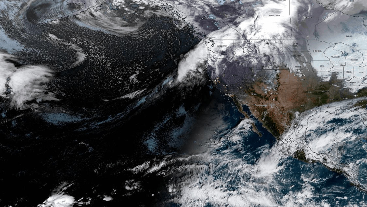
A newly designed global map has revealed that the colossal bands of water vapor circling our planet travel along vast, interconnected “highways” in the sky. These atmospheric rivers are massive vectors of weather, stretching an average of 2,000 kilometers long and 500 kilometers wide, and carrying a volume of water comparable to the flow at the mouth of the Amazon River. When they make landfall, they can trigger extreme events such as floods, severe blizzards, landslides, and even intense heatwaves. Conversely, when these sky-bound torrents bypass a region entirely, their absence can plunge the affected land into severe drought.
While atmospheric rivers are critical drivers of global weather, predicting their timing and intensity has historically been a significant challenge for meteorologists. Previous modeling and mapping efforts were largely patchy, typically losing track of the rivers as soon as they began to weaken and deposit their moisture as rain or snow. To overcome these limitations, Tobias Braun, a physicist at the Potsdam Institute for Climate Impact Research in Germany, set out to map these corridors continuously across the entire globe, seeking to understand how they function as a unified, worldwide network.
To construct this comprehensive map, Braun and his research team first compiled an extensive historical catalog of atmospheric river tracks spanning nearly a century, dating back to 1940. They then divided the Earth’s surface into thousands of hexagonal grids. By adapting concepts from graph theory—the same branch of mathematics used by mobile phones to plot the most efficient travel routes—the researchers tracked how often atmospheric rivers traveled from one hexagon to another. Tracking these movements over decades allowed the team to construct a global road network of the skies, complete with major intersections, high-traffic highways, and heavily interconnected regions.
The completed map, details of which were published in Earth System Dynamics, validated existing meteorological knowledge by successfully identifying famous storm corridors across the Atlantic, Pacific, and Indian oceans. More importantly, however, the new mapping system exposed previously overlooked meteorological hot spots. This network revealed intricate, web-like tangles of atmospheric rivers passing over the Middle East and the Mediterranean Sea, as well as critical atmospheric “fueling stations” in Central Asia, the southern tip of South Africa, and along the eastern coast of Australia, where the rivers rapidly draw in moisture from the environment.
Australian atmospheric scientist Kimberley Reid, who was not involved in the study, noted that traditional mapping methods had completely missed the eastern coast of Australia as a major fueling station, despite the area’s history of devastating floods being tied directly to these systems. According to Braun, understanding these atmospheric corridors allows scientists to trace the origins of extreme weather backwards. For instance, a historic flood in Europe can be traced back as the downstream end of a pathway originating far across the Atlantic Ocean. By understanding how these highways shift with the seasons or with climate patterns like El Niño, scientists can better anticipate where a storm is heading.
Although the map is not yet ready to function as an active forecasting tool, it represents a major step forward for climate science. Reid points out that while atmospheric rivers will inevitably deviate from these charted paths—especially as global warming alters atmospheric behavior—the study provides an invaluable baseline of their typical journeys, lifetime cycles, and growth areas. This breakthrough maps a clearer path toward a future where communities can better predict, prepare for, and survive the atmospheric rivers that shape our world’s climate.