


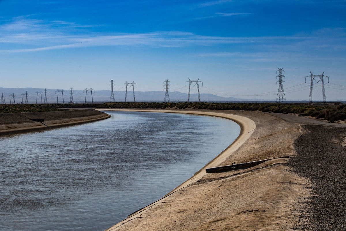
Across the American Southwest, beneath the alfalfa fields, pistachio orchards, and endless rows of irrigated crops, a quiet crisis is unfolding far below the surface. The groundwater that has sustained this region for generations—pumped from ancient underground rock layers called aquifers—is disappearing faster than nature can refill it. And according to NASA scientist Mary Michael O’Neill and a team of researchers, this is not just an environmental concern. It is a direct threat to the nation’s ability to feed itself. In a September study published in the journal Proceedings of the National Academy of Sciences, O’Neill and her colleagues used satellite data spanning more than two decades to show that aquifers in the southwestern United States are being depleted at an alarming rate. The study, which examined global terrestrial water storage trends from April 2002 to November 2025, paints a stark picture: human activities, especially irrigation and groundwater pumping, are now the dominant force reshaping where water exists on land. The findings confirm what many farmers and water managers have suspected for years—that the region’s current way of using water is not something that can continue forever. But the study also sharpens the picture, showing that the most severe losses are highly localized, concentrated in specific pockets of aquifers that supply some of America’s most productive farmland.
What makes this study particularly powerful is the technology behind it. NASA’s GRACE and GRACE-FO satellites don’t look at water directly; instead, they measure tiny shifts in Earth’s gravity field. As water is pumped out of underground aquifers, the mass of the land above changes ever so slightly, and those gravitational shifts can be detected from space. This allows scientists to infer how much water is being lost in entire regions. But earlier methods were coarse, often averaging out the extremes across large areas. The new approach used by O’Neill and her colleagues adds a vital layer of precision. It can pinpoint losses to specific portions of aquifers, giving water managers a clearer picture of where the problem is most acute. That precision is important, but as O’Neill told Newsweek, it doesn’t change the underlying conclusion: current groundwater use in these regions is not sustainable over the long term. In fact, when the researchers compared their results to earlier estimates, they found that groundwater depletion is likely more intense and more localized than previously understood. In the United States, one of the most striking findings was that land equipped for groundwater irrigation had the strongest statistical influence on water storage trends in non-polar North America—stronger than any of the ten climate and human variables tested, including precipitation trends. In other words, how we use water is outstripping even the natural cycles of rain and drought in shaping the future of our water supply.
The consequences of this depletion go far beyond dry wells and tightening water restrictions. O’Neill warned that continued depletion at current rates threatens the long-term viability of irrigated agriculture in the Southwest, along with the rural economies and food production systems that depend on these aquifers. The Central Valley of California and the High Plains aquifer system, which stretches from South Dakota down to Texas, are among the most productive agricultural regions in the world. They supply a large share of the nation’s fruits, vegetables, grains, and livestock feed. If groundwater levels keep falling, the nation’s food production capacity itself could be at risk. The economic ripple effects would be enormous. As water tables drop, farmers have to drill deeper and more expensive wells, which squeezes profit margins and can force smaller operations to consolidate or shut down entirely. Agricultural output could gradually shift to other regions—or even to other countries—as the Southwest becomes less reliable for water-intensive crops. But the damage wouldn’t stop at the farm gate. In places like the Central Valley, continued depletion is also causing land subsidence, where the earth literally sinks as water is removed from beneath it. This can crack canals, damage roads and pipelines, and permanently reduce the ability of aquifers to store water in the future. And perhaps most troubling of all, the loss of groundwater weakens the region’s natural buffer against drought. Groundwater has historically been the backup reserve that gets communities through dry years. But as aquifers are drawn down faster than they recharge, that buffer shrinks, leaving the region more vulnerable to even minor droughts.
Other experts who reviewed the findings echoed these concerns, adding a human and practical dimension to the satellite data. Eric Purnell, founder and CEO of BlueServ Technologies, told Newsweek that these findings are deeply concerning because groundwater supports both irrigated agriculture and drinking water supplies. He pointed out that continued depletion in the Central Valley and the southern High Plains can mean higher pumping costs, less reliable irrigation, and growing pressure on rural communities. Importantly, he noted that farms can face serious economic consequences well before an aquifer is physically empty. The cost of pumping from ever-greater depths can make farming unprofitable long before the water is actually gone. Purnell also offered a nuanced perspective: the risks are real, but they are also local. This is not a prediction that every U.S. aquifer will run dry overnight. However, where pumping persistently exceeds replenishment, current use is simply not sustainable. A wet year can ease the pressure temporarily, but it cannot reverse decades of accumulated loss. Mandar Chaudhari, a full-stack geospatial engineer at Land IQ who works on agricultural water management tools, echoed that sense of concern. What worries him most is how dependent agriculture has become on groundwater, especially when surface water is limited. If groundwater levels continue to drop, growers will face increasingly hard choices about how much water they can use and what they can realistically grow in a warming, drying climate. For farmers who have spent generations on the same land, these are not abstract policy questions—they are deeply personal decisions about the future of their livelihoods and their communities.
But as both experts were quick to point out, knowing there is a problem and being able to do something about it are two very different things. Chaudhari emphasized that having data—satellite observations, irrigation estimates, years of historical records—is useful, but that information only matters if it reaches people in a form they can actually use. A farmer looking at a satellite map of groundwater depletion still needs to know how much water their own fields are using and whether that use is sustainable. “Better data won’t solve the problem by itself,” Chaudhari said, “but it gives growers and water managers a better starting point.” He sees the future in connecting the big-picture satellite view with field-level details. Satellite studies can show where water storage is changing over time across entire regions, but local water managers also need on-the-ground information to understand agricultural water use and support day-to-day decisions. Technology, he believes, can help bridge that gap. Purnell agrees, noting that better measurement is exposing water losses that earlier satellite methods smoothed over. But to actually address the crisis, he argues that policymakers need to combine satellite evidence with local well monitoring and enforceable, long-term water budgets. We don’t wait for a bridge to collapse before fixing it, he points out—so why should we wait for wells to run dry before taking groundwater depletion seriously? His own work focuses on identifying operational risk before it becomes a crisis, and he believes the same principle should be applied to groundwater management. Waiting for crisis, he warns, is far more expensive than acting early.
For the Southwest, the path forward is not simple, but it is not hopeless either. The technology to understand and manage groundwater is better than it has ever been. Satellite data can now show us, with remarkable precision, where the most severe losses are occurring. On-the-ground sensors, well measurements, and water accounting tools can help farmers and water managers make smarter decisions about what to plant, how much to irrigate, and when to let fields lie fallow. What is needed now is the will to act on what the data is telling us. That means creating water budgets that actually limit pumping to sustainable levels. It means investing in water efficiency, drip irrigation, and crops that are better suited to a drier climate. It means supporting rural communities as they adapt to a future with less groundwater—because the cost of doing nothing will be far greater than the cost of change. And it means recognizing that groundwater is not an endless resource, but a shared inheritance that must be protected for future generations. The experts in this story are not saying that farming in the Southwest is doomed. They are saying that the current way of farming, which depends on drawing down ancient reserves far faster than they can be replenished, is not sustainable. The good news is that we have the tools, the knowledge, and increasingly the data to make better choices. The question is whether we will choose to act before the aquifers are too depleted to save. The future of American agriculture, and the communities built around it, may depend on that choice.