




There’s something remarkable happening in the vast Pacific Ocean right now, and it’s not just scientists who are paying attention. The developing El Niño has already shattered records for strength, and forecasters say it’s going to keep intensifying before it finally begins to fade. This isn’t just another weather pattern; it’s a powerful, planet-scale event that could reshape the tone of the upcoming winter across the United States. The National Oceanic and Atmospheric Administration announced back in June that El Niño conditions had formed in the tropical Pacific, and since then, the pattern has only grown stronger. In fact, the ocean temperature anomaly is now the highest ever recorded in more than 170 years of data. El Niño is the warm phase of a natural cycle known as the El Niño-Southern Oscillation, and it typically makes an appearance every three to five years. It happens when ocean temperatures in the equatorial Pacific rise at least half a degree Celsius above the historical average for months in a row. But this time, the numbers have blown past that threshold in spectacular fashion. NOAA has said the pattern is expected to keep strengthening through November and December, and even after it begins to weaken, its effects are likely to linger. The strongest impacts in the U.S. usually arrive between December and March, which happens to be the heart of the holiday season, outdoor sporting events, and some of the country’s most beloved winter traditions. From the Super Bowl to Mardi Gras, from Thanksgiving parades to New Year’s Eve celebrations, this El Niño could be the invisible guest at every major gathering, quietly shaping whether it rains, snows, shines, or blows.
What exactly makes this a “super” El Niño? The label gets thrown around a lot, but it isn’t just hype. Independent meteorologists and weather agencies have been using the term because the ocean water in the tropical Pacific is far warmer than normal, usually by around 2 degrees Celsius in these extreme events. The current El Niño has already surged past that milestone, with ocean temperatures more than 3 degrees Celsius above average and still climbing. It’s an astonishing number, especially when you consider that even a fraction of a degree of ocean warming can send ripple effects through the atmosphere. The warmer the water, the more energy is available to influence weather patterns across thousands of miles. Ken Graham, the director of NOAA’s National Weather Service, put it nicely when the El Niño was first announced: “Every El Niño is not the same; each one is unique with its own imprint on our weather.” That’s an important reminder because no two El Niños behave identically. But there are some general tendencies that forecasters watch carefully. Warmer ocean water can shift the jet stream, alter storm tracks, change whether precipitation falls as rain or snow, and even bring extreme cold spells to certain regions. In the United States, the most widespread effects tend to show up in fall and winter. Typically, the South gets cooler, wetter conditions, while the North experiences warmer, drier weather. That may sound simple, but in practice, it means a winter that could feel completely different depending on which part of the country you call home.
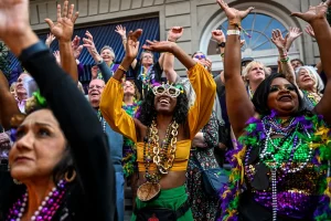
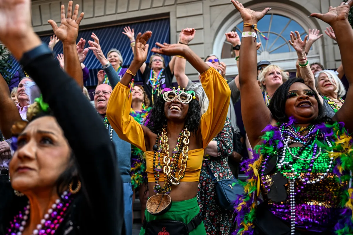
One area getting special attention is Southern California and the broader Southwest, because strong El Niño patterns often bring atmospheric rivers and heavy rainstorms to that region during the winter. That could have major implications for the Super Bowl, which is set for February 14, 2027, at SoFi Stadium in Inglewood, California. The stadium itself is a modern marvel, with a translucent roof that covers the seating area while keeping it an open-air venue. That design offers some protection from rain, but it doesn’t make the event immune to weather-related disruptions. Heavy rain, especially the kind associated with an atmospheric river, could create problems before and after the game, affecting travel, parking, and flooding in the surrounding areas. Lightning, which often accompanies strong storms, could also force delays. The Gulf Coast states are similarly at risk. Louisiana typically gets more rain during El Niño winters, and with Mardi Gras falling on February 9, 2027, that could mean a soggy, messy celebration for the thousands of people who gather in New Orleans for parades, parties, and outdoor festivities. Heather Zons, a principal weather producer at The Weather Channel, noted that the Gulf Coast states are likely to be very stormy this winter, and Mardi Gras could certainly be impacted. The greatest threats would be rain, severe storms, and flooding, all of which are especially problematic for events that depend on people lining the streets, riding on floats, and celebrating in the open air. The same stormy conditions could also complicate the Super Bowl, underscoring just how much this winter’s biggest moments are tied to the whims of the atmosphere.
While the South and West brace for wet and potentially dangerous weather, the Northeast could end up dealing with the opposite kind of disappointment. El Niño winters tend to bring milder temperatures to the northern United States, which means the magic of a snowy holiday season might be hard to come by. The Rockefeller Center Christmas Tree Lighting, scheduled for December 2, could feature above-average temperatures and possibly some rain showers, according to AccuWeather senior meteorologist and long-range forecaster Chad Merrill. He’s been looking at early signals that suggest a mild, wet evening rather than the classic cold-and-clear holiday scene that so many people hope for. The Macy’s Thanksgiving Day Parade, which will march through New York City on November 26, could also see breezy conditions and a chance of rain before the warmer-than-average temperatures settle in for good in December. And for New Year’s Eve in Times Square, the prospect of rain instead of snow, or simply a damp, drizzly night, feels like a letdown for the millions who gather to watch the ball drop. Heather Zons put it bluntly: if there’s precipitation in New York, it’s more likely to come as rain, and nobody wants a rainy Rockefeller tree lighting or a rainy New Year’s Eve. That said, there is a silver lining for leaf peepers. El Niño could bring a warmer fall to the Northeast, which means fall foliage might linger longer than usual and display extra vibrant colors. For a region that draws tourists from all over the world to see the changing leaves, that’s a small but welcome consolation.
Another fascinating piece of this puzzle is the role of a Kelvin wave, a large-scale movement of warm ocean water that can be triggered by changes in trade winds associated with El Niño. Meteorologists are monitoring one such wave that could reach the West Coast in a matter of days. When a Kelvin wave arrives, sea levels rise along the coast, and that creates a higher base for tides and storm surges. That means during high tide, or when a strong storm happens to hit the coast, the risk of coastal flooding increases significantly. The wave can also accelerate beach erosion, washing away sand and reshaping shorelines in ways that affect communities and ecosystems. It’s a reminder that El Niño’s influence isn’t just about weather in the atmosphere; it’s also about the physical ocean and the coasts we live near. The combination of a still-strengthening El Niño and an incoming Kelvin wave could create some genuinely dangerous conditions along the Pacific coastline, even if the exact timing is still uncertain. Forecasters are watching these developments closely, knowing that the ocean and the atmosphere are locked in a complicated dance that can shift direction quickly. The Kelvin wave is essentially another way that the ocean communicates its energy to the coasts, and it adds another layer of unpredictability to an already complex winter forecast.
So what happens next? Honestly, that’s still anybody’s guess. Even with all the advanced monitoring tools and decades of research, meteorologists can’t say with certainty exactly how this El Niño will play out on any given day or in any specific city. The best they can do is point to the broad patterns, the historical analogs, and the coming weather systems as they develop. Forecasts tend to become more accurate as the event gets closer, with about two to three weeks being the window when weather models truly start to zero in on the details. For people planning to attend outdoor celebrations this winter, the experts have one clear piece of advice: keep an eye on local forecasts as the date approaches. El Niños typically last between nine and twelve months, though particularly strong events can linger even longer. That means we may be feeling this one’s effects well into the early months of the year. But for now, the most honest answer is that El Niño is a powerful and unpredictable force, and while it may set the stage, it doesn’t write the script. It could bring transformative rain to drought-stricken areas, bigger waves to the coast, and storm disruptions to beloved traditions, or it could surprise everyone by taking a quieter path. Either way, it’s a reminder that our celebrations happen inside a living, breathing climate system. The ocean warms, the winds shift, and the weather follows, and all we can do is prepare, adapt, and hope for the best. After all, the same El Niño that might rain on a parade could also be the one that feeds mountain snowpack, refills reservoirs, and brings a sense of relief to places that have needed it for years. It’s not just a stormmaker; it’s a life-giver too. And for the millions of people who will gather in stadiums, parade routes, and city squares over the next few months, staying informed might be the difference between a magical memory and a soggy story they’ll tell for years to come.