




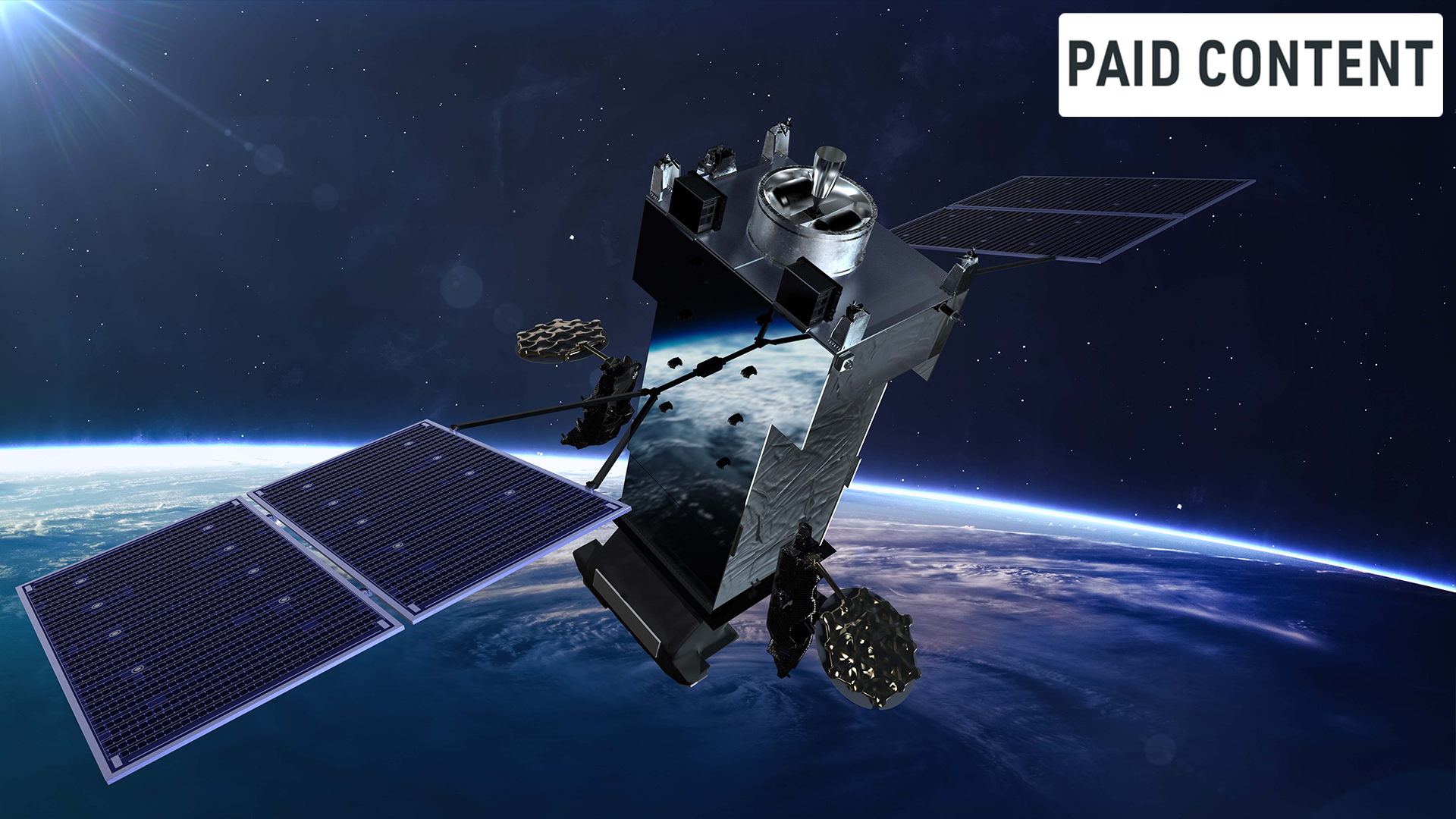
America is moving forward with a new generation of space-based missile warning and tracking technology, and while the name might sound technical, the mission is deeply human. The program is called Next Gen OPIR GEO, which stands for Next Generation Overhead Persistent Infrared Geosynchronous Earth Orbit. In plain language: it’s a system of satellites that will watch the Earth from high above, looking for the heat signatures of missile launches and providing the kind of early warning that can mean the difference between life and death. For more than a decade, the Space-Based Infrared System, or SBIRS, has quietly served as the military’s eyes in the sky, constantly scanning for the brief, bright flash of a rocket engine igniting. But the world has changed. The missile threats facing the United States and its allies are no longer the relatively simple, predictable ballistic missiles of the past. Today’s threats travel faster, move with more complexity, and can change course mid-flight, making them harder to detect and track. Knowing this, the U.S. Space Force, along with Lockheed Martin and a broad network of industry and supply-chain partners, is building Next Gen OPIR GEO to answer those challenges. This is about protecting our nation’s forces, supporting informed decisions in moments of crisis, and preserving the safety of people both at home and abroad. It is not just a satellite program. It is a promise that we will always have someone watching.
Building Next Gen OPIR GEO isn’t about throwing out the past; it’s about standing on the shoulders of what already works. For years, SBIRS has provided reliable, space-based early missile warning capability, giving the military and national leaders the time needed to respond to threats. Jim Sprunck, Lockheed Martin’s OPIR portfolio director, once described Next Gen OPIR GEO as building on that strong foundation and bringing enhanced capabilities designed to support advanced missile warning and tracking for the nation. This is a classic “bridge” moment in military technology. The system is being developed to improve sensing, tracking, resiliency, and data processing in support of unified combat. That means the program is designed not simply to continue what SBIRS already does, but to advance every part of the mission. Lockheed Martin is developing the system in partnership with the U.S. Space Force, along with subcontractors and supply-chain partners. The effort combines scientific, engineering, systems-integration, and program-management expertise to support current and future missile warning and tracking needs. In other words, this is a collaborative, enterprise-wide effort, not just a single company building a satellite in a cleanroom. It takes a deep bench of talent and a shared vision to make something this ambitious work, and the program is organized around exactly that kind of reality. For the military and for the people who depend on missile warning systems every day, this represents a smooth transition from a trusted past to a more capable and resilient future.
So what can Next Gen OPIR GEO actually do that previous systems couldn’t? Let’s break it down in straightforward terms. The system is designed to operate in geosynchronous orbit, meaning it will stay fixed over one part of the Earth, giving it persistent, continuous coverage of that region. That persistence is critical. Missile warning is not about catching a launch a few seconds before impact; it’s about detecting a launch as early as possible, tracking the missile or any object it deploys, and staying with it throughout its flight. Next Gen OPIR GEO is designed to improve detection, tracking, and characterization of increasingly complex missile threats, including threats with challenging signatures, high speeds, and maneuvering flight profiles. Hypersonic glide vehicles, for instance, are one of the most difficult threats because they can travel at incredibly high speeds and maneuver in flight, making their paths unpredictable. To keep up with these kinds of targets, you need advanced sensors with enhanced sensitivity and persistent coverage. That’s exactly what the program is focused on delivering. In mission testing, the system has demonstrated significant improvements over SBIRS in approved performance areas. It isn’t just about seeing a missile launch; it’s about tracking dim or maneuvering targets, understanding what they are, where they are going, and what they might hit. This kind of information is essential for timely awareness and decision-making, whether that means moving troops, launching defensive systems, or giving leadership the confidence to respond appropriately. Ultimately, the goal is to provide our forces and our allies with the earliest possible warning, and to support force protection and effort to save lives.
There’s another piece of this story that’s just as important but often overlooked: resilience. We tend to think of space as a peaceful, pristine place, but it is quickly becoming crowded and contested. Adversaries are developing ways to jam, blind, or even destroy satellites. The military knows that a missile warning system has to keep working even in a hostile environment, not just in ideal conditions. That’s why Next Gen OPIR GEO incorporates resiliency features intended to support mission continuity in contested space environments. The space element is integrated with a next-generation ground architecture designed to process larger amounts of sensor data and provide timely decision-making for warfighters. Built on Lockheed Martin’s LM 2100 Combat Bus, the system is designed to include cyber-resilient systems, improved communications, resiliency features, enhanced spacecraft power, and improved propulsion and electronic subsystems. It’s also designed to use onboard data processing to support mission continuity during communication disruptions. That is a huge advantage. Even if links to the ground are interfered with or cut off, the satellite can continue to process information and remain mission-capable. This kind of design thinking shifts the paradigm from “your satellite is a dumb sensor” to “your satellite is an intelligent partner in the mission.” It is like building a secure, hardened command post that can keep functioning in a blackout. In a world where space is no longer a sanctuary, resilience is not a luxury; it is a fundamental requirement, and Next Gen OPIR GEO is being built with that reality firmly in mind.
Underneath all the hardware, one of the most fascinating parts of this program is the engineering approach. We tend to think of building satellites as a linear process: design, build, test, launch. But the team behind Next Gen OPIR GEO is doing something much more sophisticated. They are using next-generation digital engineering methods to develop and integrate the capability, creating high-fidelity digital models of the spacecraft, sensors, and ground systems, then simulating every phase of the mission from launch to on-orbit detection. Lockheed Martin engineers have built advanced analysis and modeling tools that can simulate realistic mission scenarios, including the kinds of threats the system might face in the future. These tools allow teams to validate designs before hardware is ever built, catching problems early, reducing risk, and speeding up development. The engineering team developed payload, ground system, and spacecraft capability improvements, then validated those designs through early development demonstrations and space-to-ground integration tests using digital simulations under representative mission conditions. This is not just an incremental improvement in how things are done; it’s a fundamentally different way to think about the design process. It also requires a deeply collaborative environment. As Theresa Ito, Next Generation OPIR GEO Principal Systems Engineer, put it, “We’ve built a collaborative environment that extends far beyond Lockheed Martin’s walls. We are bringing together technical expertise across the program, the U.S. Space Force, subcontractors, and supply-chain partners to address complex development and integration challenges.” That kind of collaboration matters because missile warning is a mission where no single organization can do it alone. It takes expertise in sensors, spacecraft flight, ground processing, cyber security, and threat analysis, and Next Gen OPIR GEO is being built to bring all of that together in one cohesive system.
Finally, behind every satellite and sensor, there are people. And that might be the most important part of the whole program. Next Gen OPIR GEO is more than a hardware upgrade; it’s an intergenerational handoff of knowledge, experience, and passion. Many team members spent years working on SBIRS, mastering the ins and outs of space-based missile warning and learning what it means to provide this critical capability to the nation. But since the Next Gen program began, a new wave of engineers has joined the team, bringing fresh perspectives, new skills, and a different way of looking at long-standing challenges. Theresa Ito summed it up perfectly when she said, “Many members of the team bring years of SBIRS experience, but since Next Gen OPIR GEO began, we’ve welcomed new engineers with fresh perspectives. Their technical expertise and commitment complement the experience of the broader team and support the program’s mission.” This kind of combination is essential if we want to keep advancing. The old systems will continue to provide established early missile warning capability for traditional ballistic-missile threats, especially as Next Gen OPIR GEO comes online. But next-generation threats demand next-generation thinking, and that means making room for young minds alongside seasoned veterans. In a larger sense, this program is about continuity. It is about taking what has worked for years and weaving it together with new ideas to build a gateway to the future of space-based missile warning and tracking. It is also ultimately about humanity. The satellites, sensors, and data streams all exist for one reason: to protect people. Every engineer who checks a design, every analyst who runs a simulation, every technician who helps assemble a satellite is contributing to a mission that saves lives. Next Gen OPIR GEO is a powerful reminder that even the most advanced technology is still, at its heart, a human story about our desire to protect the vulnerable, see danger coming, and give people the time they need to respond. And that is the kind of mission worth investing in.