

Imagine waking up in New York City next January and not having to dig your car out from under a mountain of snow. For many people, that sounds less like a weather forecast and more like a dream. But according to a startling new outlook from forecasters this week, that may be exactly what this winter has in store for the Big Apple — thanks to a Super El Niño that is shaping up to be one of the most powerful weather systems ever recorded. The same atmospheric giant that could give New Yorkers a break from the shovel will almost certainly bring misery to other parts of the United States, with forecasters warning of pounding storms, heavy flooding, and relentless coastal erosion in regions far less lucky. It’s a strange, lopsided reality: a single planetary-scale weather pattern that is, in the words of one United Nations official, a “behemoth” and a “wrecking ball,” and yet for some people it might feel like an unusually pleasant autumn stretching deep into winter. The contrast is at the heart of what makes this forecast so fascinating and so human. We tend to think of weather as something that happens to us, but this El Niño is a reminder that it happens to all of us differently. What is a welcome reprieve in one city can be a life-threatening emergency in another, and the same climate engine can produce both serene, mild afternoons and catastrophic floodwaters at the very same time.
The science behind this forecast begins in the vast, warm waters of the central and eastern Pacific Ocean. El Niño is a natural climate pattern in which those ocean waters become unusually warm, and that warmth reshapes the movement of air around the planet, sending ripple effects through weather systems everywhere. What has experts so alarmed this time is not just that an El Niño is occurring, but that it is occurring at a scale that defies the tools they’ve used for decades. The World Meteorological Organization reported that between November and January, sea surface temperatures in the key monitoring region could rise to more than six times the level of a typical El Niño episode. Celeste Saulo, the secretary of the WMO, said plainly, “This is literally off the monitoring charts that we have used for the past four decades.” That kind of language is rare among scientists, who usually hedge their statements with careful caveats. But this event appears to demand a new vocabulary. On Wednesday, the UN’s emergency relief chief, Tom Fletcher, called the Super El Niño “a wrecking ball” that would bring extreme heat, droughts, and floods globally, adding, “This El Niño is a behemoth.” When the people whose job it is to prepare for disasters are using words normally reserved for monsters and catastrophes, it is worth paying attention. We are not just talking about a slightly warmer winter or a few extra rainstorms. We are talking about a planetary-scale disruption that could touch nearly every corner of the globe, and the United States is not immune.
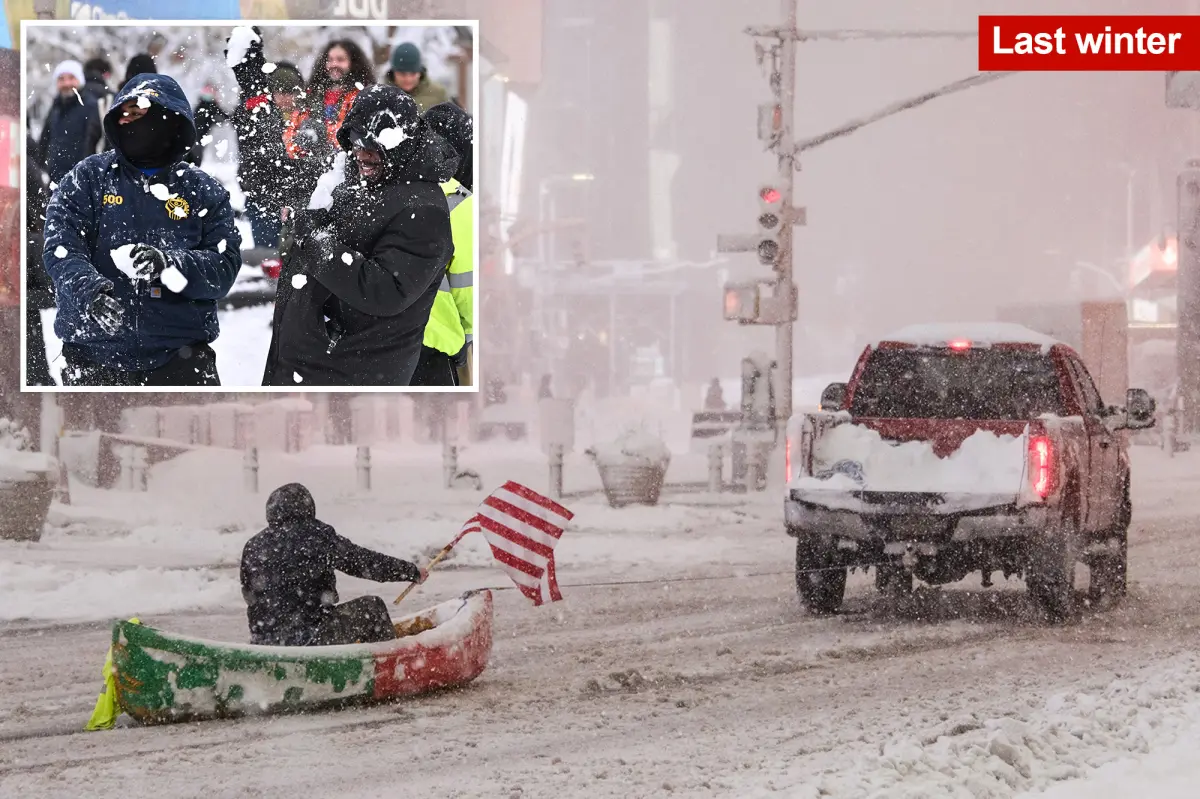
For New York City, however, this behemoth might turn out to be surprisingly gentle — at least when it comes to snow. AccuWeather Senior Meteorologist Matt Benz explained that the Super El Niño would likely keep fall weather around for longer than usual, delaying the arrival of true winter. “Fall will linger longer this year,” Benz said. “We expect winter to arrive later.” Instead of snowflakes flying in December, New Yorkers might enjoy crisp, cool, autumn-like days well into the new year. He predicted that the Tri-State area would not get its first real taste of winter until the middle or end of January. That shift could mean a dramatic difference in snowfall totals. Last year, New York City was buried under a brutal 43 inches of snow, which made the city feel like a frozen obstacle course for months. This year, Benz forecast only 10 to 20 inches of snow in the city. For anyone who has ever spent a freezing morning waiting for a delayed subway because the tracks were covered in ice, or spent an hour clearing a sidewalk only to have a plow bury it again, that is genuinely good news. It means fewer shoveling sessions, fewer icy commutes, fewer school delays, and a much shorter season of winter coats and frozen fingers. The milder conditions are also expected to extend through much of the Northeastern United States, giving millions of people a gentler winter than they are used to. But even this silver lining comes with a hint of melancholy. For those who love winter sports, who dream of white Christmases, or who simply find something magical about the first snowfall, a long autumn and a weak winter might feel more like a lost season than a relief. Weather is personal, and even the “good” news is not good for everyone.
Out West, the same Super El Niño will be anything but friendly. While New York may bask in an extended fall, parts of the Western United States are bracing for a rough and potentially dangerous winter. Northern California is expected to see frequent storms with heavy rain and strong wind, and those storms could hammer the coast with powerful waves that cause significant erosion. Coastal communities that have already been dealing with shrinking beaches and crumbling cliffs may find themselves facing even more damage. Benz singled out California and the desert Southwest as being at the highest risk of flooding. That is a serious concern, because in a region where heavy rain often falls on dry, hard soil or on hillsides stripped bare by recent wildfires, flooding can quickly turn into mudslides that sweep away roads and homes. The images of cars bobbing in brown water on Los Angeles freeways or neighborhoods sliding down hillsides are not abstract possibilities; they are recurring nightmares for people who live in those areas. And it does not stop there. Parts of the Southern United States, including the Northern Gulf Coast, are expected to see more “heavy rain events,” according to Benz. For people in those regions, this means an elevated risk of flash flooding, overwhelmed drainage systems, and dangerous travel conditions. It is a stark reminder that a weather pattern that spares one region often compensates by hitting another much harder. The same ocean currents that push mild air toward the Northeast can also pull moisture-laden storms across the southern half of the country, turning daily life into a battle against water.
In between those extremes, the Super El Niño is also forecast to bring heavy snow to some of the country’s most iconic mountain ranges. Benz said that the Rockies, the Sierra Nevadas, and parts of the Midwestern plains would likely be hit with heavier snowfall than usual. For ski resorts and mountain towns, that might sound like an early holiday gift, since big snow totals are the lifeblood of winter tourism. But for the people who live in those areas, the same snow can mean dangerous roads, roof collapses, avalanche warnings, and days of isolation. The difference between a snowy paradise and a snowy prison is often just a matter of preparation and infrastructure. In the Midwest, heavy snow combined with wind can create whiteout conditions that shut down highways and strand travelers for hours. And while the Sierra Nevada snowpack is a crucial source of water for California’s dry summer months, the timing and intensity of this snow could also cause problems, especially if it comes in rapid bursts that make travel difficult or dangerous. The forecast serves as a reminder that even the “beneficial” parts of an extreme weather system have a price. There is no such thing as a perfectly good El Niño or a perfectly bad one; there are only different flavors of disruption, each with its own winners and losers. Benz noted that El Niño is a term that gets thrown around every year, but in this case, it could be one of the strongest on record. That is not a hype statement; it is a warning that the normal rules of seasonal weather may not apply.
If we step back from the regional details, the bigger story is about how much of the world may be affected by this single climate event. The same ocean warming that could make New York feel like autumn in January is also contributing to extreme heat, prolonged droughts, and devastating floods on a global scale. The UN’s top emergency relief official, Tom Fletcher, used the phrase “wrecking ball” not to alarm people for its own sake, but to prepare them for the humanitarian reality that is likely to unfold in vulnerable countries across the globe. While Americans are debating whether to wear a light jacket or a heavy coat, millions of people in other parts of the world may be facing crop failures, water shortages, or evacuation orders. That contrast is the truest, most humanizing lesson of this forecast. Weather connects us all, whether we realize it or not. A mild winter in New York is not just a local convenience; it is part of the same atmospheric equation that brings ruinous floods elsewhere. For those of us lucky enough to be on the “mild” side of this Super El Niño, the right response is not simply to celebrate our good fortune, but to recognize the fragility that comes with a changing climate and the deep unfairness of who gets to experience the gentle version of such a powerful force. As forecasters continue to refine their predictions, the best we can do is prepare, stay flexible, and remember that behind every data point is a human story — a snow scraper left idle, a sandbag stacked against rising water, a prayer for rain in a dry land. The Super El Niño is a behemoth, but it is also a mirror, reflecting both our vulnerability and our resilience in the face of an unpredictable world.