Winter Storm Warnings Create Hazardous Conditions Across Four States
As millions of Americans settle into the new year, a powerful winter storm system has triggered urgent warnings across California, Nevada, New York, and Michigan. The National Weather Service has issued stark alerts that will remain active well into the weekend and beyond, with some warnings extending into Monday. For residents and travelers in these regions, these aren’t merely inconvenient weather events—they represent potentially life-threatening conditions that demand serious attention and preparation. The Sierra Nevada mountains face the most extreme forecast, with some areas expected to receive a staggering 4.5 feet of snow, transforming familiar landscapes into dangerously impassable terrain.
The timing of these storms couldn’t be more challenging, as many people are still traveling during the extended holiday period. In California’s Sierra Nevada region, including popular destinations like Yosemite National Park, Kings Canyon, and Sequoia, forecasters predict snowfall totals reaching up to 55 inches in the highest elevations. Accompanying these heavy snow accumulations, fierce winds approaching 100 mph threaten to damage trees and power infrastructure, potentially leaving communities isolated and without electricity during the coldest days of winter. Meanwhile, Nevada’s Lake Tahoe region braces for 1 to 3 feet of snow above 7,000 feet, with substantial accumulations even at lake level, making weekend mountain travel extraordinarily risky for unprepared visitors and residents alike.
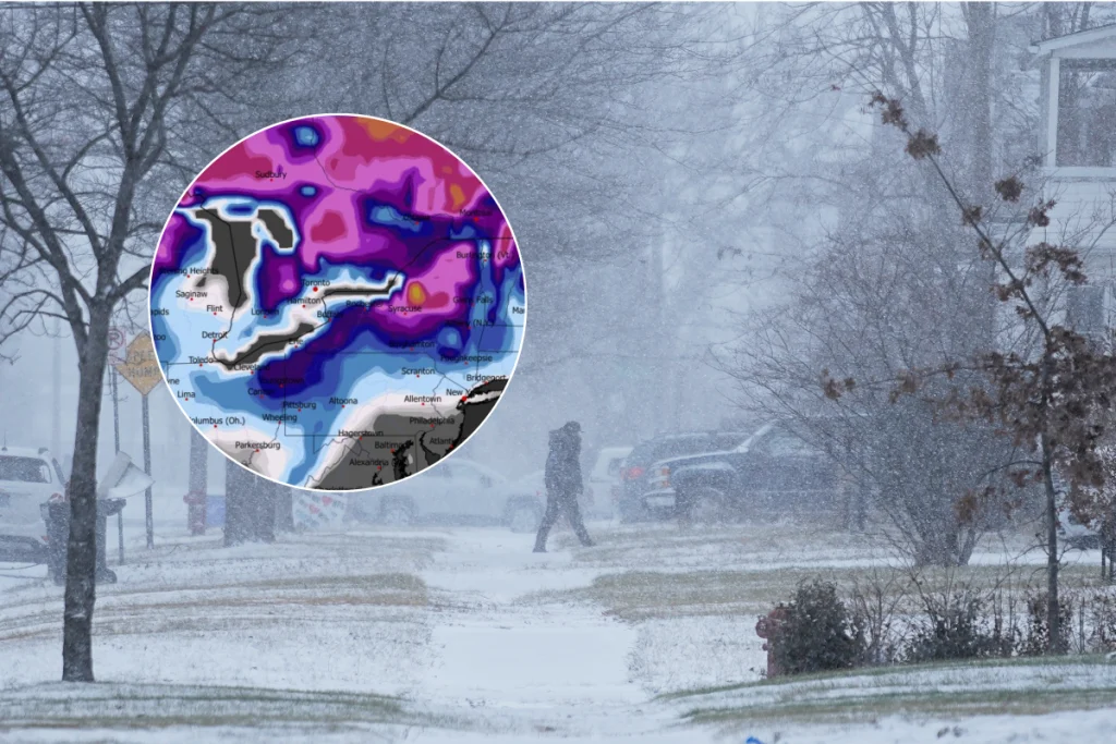
The eastern states face their own battle with winter’s fury as New York’s lake-effect snow bands intensify. Counties bordering the Great Lakes, including Wayne, Cayuga, Oswego, Jefferson, and Lewis, could see snowfall totals approaching three feet by early Saturday. The meteorological phenomenon creating these extreme conditions involves cold air moving over the relatively warmer lake waters, generating intense snow bands that can dump several inches per hour in localized areas. This creates the particularly dangerous situation where conditions can shift dramatically within just a few miles, catching drivers off guard with sudden whiteouts and deep snow. The warnings for central Michigan’s Chippewa County, while less severe, still predict an additional 6-10 inches through Friday morning, enough to create treacherous commuting conditions and potential isolation for rural communities.
The practical implications of these winter storms extend far beyond simple inconvenience. Roads and bridges will become increasingly dangerous as snow accumulates and temperatures remain below freezing, with ice forming beneath snow layers creating particularly hazardous driving surfaces. Visibility could drop to near-zero in heavy bands of lake-effect snow, making even familiar roads unrecognizable and disorienting for drivers. Emergency officials across all affected regions have consistently emphasized one critical message: delay all non-essential travel until conditions improve. For those who absolutely must venture out, emergency preparedness becomes crucial—vehicles should be equipped with winter survival supplies including extra food, water, warm clothing, flashlights, and fully charged communication devices.
New York Governor Kathy Hochul has taken a proactive stance, urging residents to “use caution, prioritize safety and avoid any unnecessary travel in areas experiencing heavy snow and winter storms.” Her administration has mobilized emergency management teams along with snow removal crews and utility workers to respond to developing situations across the state. This coordinated approach reflects the serious nature of the threat, particularly in regions where lake-effect snow could potentially isolate communities for days. The National Weather Service has reinforced this message of caution, advising travelers to carry emergency supplies and stay informed about rapidly changing road conditions by utilizing state travel information systems.
As these winter storms progress through the weekend, their impacts will continue to evolve across the affected regions. Emergency response teams remain on high alert, particularly in mountain communities where access could be severely limited by heavy snowfall and strong winds. Residents in all warning areas are advised to prepare for potential power outages by securing alternative heating sources, non-perishable food, and adequate water supplies. While winter storms create undeniable hardships, they also demonstrate the resilience of affected communities and the dedication of emergency responders who work tirelessly in challenging conditions. As the weather systems gradually move out early next week, the focus will shift to recovery efforts and clearing transportation routes—but until then, caution and preparation remain the watchwords for everyone in these winter storm warning zones.


