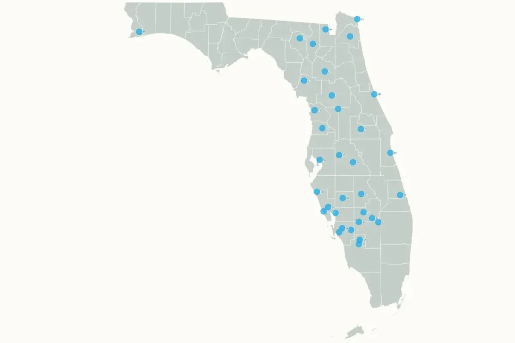
Florida’s Winter Chill: An Unprecedented Cold Snap Sweeps the Sunshine State
Recent forecast data highlighted by Newsweek reveals that numerous Florida cities are bracing for freezing wind chills in an unusual mid-November cold wave. The National Weather Service (NWS) has issued cold weather advisories throughout much of Florida, warning residents about the dangers of prolonged exposure to these unusually low temperatures. This isn’t just a minor temperature dip—wind chill values are expected to plummet into the 20s and 30s across large portions of the state, creating conditions where hypothermia becomes a genuine concern. For many Floridians accustomed to mild winters, this dramatic shift represents a shocking departure from normal mid-November weather patterns and requires serious preparation to stay safe and comfortable.
What makes this cold snap particularly notable is its timing and severity compared to historical patterns. Meteorologist Matt Devitt characterized the incoming conditions as “record cold,” especially in Southwest Florida where Tuesday’s temperatures are expected to rival the coldest days of last winter—despite it being only mid-November. “To put things into perspective,” Devitt explained, “this will rival the coldest it got all last winter… and it’s only mid-November. In fact, it hasn’t gotten this cold this early in nearly 60 years (1966).” With temperatures projected to drop more than 20 degrees below average, many communities are facing unprecedented early-season cold. While Devitt doesn’t anticipate an actual freeze in his local area, he cautions that the wind chill will make it “feel like freezing” for residents unused to such conditions.
This Florida cold front is part of a much larger weather system affecting much of the eastern United States. The NWS has indicated that “significantly colder weather” will sweep across the eastern two-thirds of the country early this week, with temperatures 20 to 30 degrees below normal. Such dramatic departures from average temperatures are expected to tie or break numerous records across the Southeast through Monday night, with record-breaking cold potentially reaching throughout the Florida Peninsula by Tuesday as this polar air mass continues its southward journey. The contrast is particularly stark in Florida, where residents may experience what NWS Miami described as a “temperature roller coaster”—shifting from heat indices in the low to mid-90s over the weekend to wind chill values in the 30s near Lake Okeechobee by Tuesday morning.
Understanding wind chill is crucial for residents preparing for this unusual weather event. As the NWS explains, “The wind chill temperature is how cold people and animals feel when outside. Wind chill is based on the rate of heat loss from exposed skin caused by wind and cold.” This isn’t merely a perception issue but a genuine safety concern—as wind speeds increase, heat is drawn more rapidly from the body, lowering skin temperature and eventually internal body temperature. This accelerated heat loss makes it feel significantly colder than what thermometers actually read. For Floridians unaccustomed to such conditions and potentially unprepared with adequate cold-weather clothing and home heating, this distinction becomes particularly important for maintaining safety during the coldest periods.
Local NWS offices across Florida have been actively communicating with residents about the approaching cold front through social media and other channels. NWS Tampa Bay warned on Sunday that “The coldest air of the season will arrive Monday night and Tuesday morning,” noting that a freeze watch was in effect for Levy and Citrus Counties, with wind chills dropping into the 20s and low 30s across all of west central and southwest Florida. Similarly, NWS Jacksonville issued a Cold Weather Advisory for most of their area, reminding residents about space heater safety: “If you will be using a space heater, please make sure you know how to properly use & maintain it!” These communications highlight the unusual nature of this weather event and the need for Floridians to take appropriate precautions.
The timing of this cold snap presents unique challenges for Florida residents and visitors. With the cold front arriving in mid-November—well before typical winter weather patterns establish themselves in the Sunshine State—many may be caught unprepared for such dramatic temperature drops. Homes designed primarily for cooling rather than heating may struggle to maintain comfortable temperatures, and wardrobes focused on year-round warmth may lack sufficient cold-weather options. Additionally, vulnerable populations including the elderly, homeless individuals, and outdoor workers face increased health risks from this unusual weather pattern. As the NWS continues to provide regular forecast updates via its website and social media channels, Floridians are advised to stay informed and take necessary precautions to navigate this historic early cold snap safely—from proper layering of clothing when venturing outdoors to ensuring heating systems are functioning properly and used safely.


