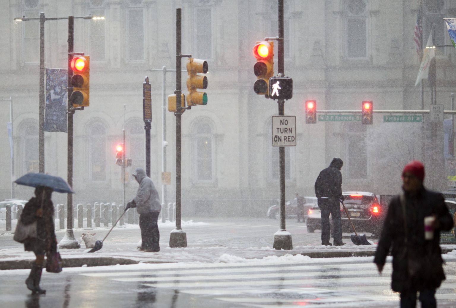
Philadelphia recently experienced a dry, frigid Wednesday, a precursor to anticipated snowfall in the coming days. This cold snap underscores the volatile nature of winter weather in the region, posing potential challenges for residents and travelers alike. Temperatures plummeted significantly below historical averages, prompting concerns about icy roads, transportation disruptions, and increased energy demands for heating. The National Weather Service (NWS) has also emphasized the risks these colder-than-average conditions pose to vulnerable populations, particularly the elderly and those experiencing homelessness. This pattern, characterized by the intrusion of Arctic air masses, appears to be increasing in frequency, highlighting the critical need for preparedness and adaptive strategies in the face of a changing climate.
Wednesday’s temperatures averaged a mere 27 degrees Fahrenheit, a stark contrast to typical conditions for this time of year. The NWS Philadelphia/Mt. Holly office reported clear skies, a high of 33 degrees, and a low of 19 degrees, characterizing this as part of a persistent cold spell affecting the Northeast. This frigid January echoes a trend observed in recent years. In 2022, January 15th registered a similarly extreme low of 21 degrees, the coldest temperature recorded in the past five years. While Wednesday remained dry, its lack of precipitation aligns with historical January averages of a scant 0.01 inches of rain. However, this meteorological stability is predicted to be short-lived, with snow anticipated to disrupt commutes and weekend activities.
Looking ahead, the NWS forecasts fluctuating conditions over the next few days. Thursday is expected to bring snow showers, with a high near 33 degrees and a low of 24 degrees. Friday promises a return to sunny skies and milder temperatures reaching 40 degrees. However, the weekend holds the potential for a significant shift, with an anticipated Arctic blast bringing subfreezing temperatures and strong wind gusts into the following week. These conditions raise concerns about hazardous icy roads and potential travel delays.
Meteorologists and weather services have been actively communicating the impending weather changes. WPHL meteorologist Monica Cryan confirmed the prevailing cold conditions, noting a “Philly breeze,” and anticipated snow showers impacting the Thursday evening commute. She characterized the system as relatively weak, predicting a light dusting of snow for the Philadelphia area, while western Pennsylvania could see accumulations of 2 to 3 inches. The NWS Philadelphia/Mt. Holly office, via X (formerly Twitter), corroborated these predictions, expressing increasing confidence in light snowfall Thursday afternoon and evening. They anticipate a dusting generally under an inch, with localized accumulations of 1 to 2 inches possible in eastern Pennsylvania near or north of I-78.
The NWS strongly advises residents to remain informed about weather developments through their Philadelphia/Mt. Holly briefing pages and social media channels. As the region prepares for snow, officials urge proactive measures, including ensuring vehicles are properly winterized and regularly monitoring weather alerts. With another Arctic blast imminent, residents are reminded to dress in layers and anticipate fluctuating weather patterns in the days to come.
The recurring pattern of extreme cold snaps underscores the need for ongoing preparedness and community resilience. Beyond individual actions like vehicle preparation and staying informed, broader community-level strategies are vital. These include ensuring adequate resources for warming centers and shelters for vulnerable populations, efficient communication systems for disseminating weather alerts, and robust infrastructure to withstand the impacts of extreme weather. Furthermore, long-term planning should consider the increasing frequency of these Arctic intrusions, possibly necessitating adjustments to urban planning, building codes, and emergency response protocols. The confluence of short-term preparedness and long-term adaptation will be crucial for navigating the evolving challenges of winter weather in the Philadelphia region.


