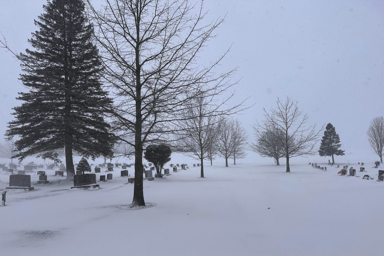
The Midwest, particularly Ohio, is bracing for a significant shift in weather patterns as a polar vortex descends, bringing with it the potential for severely cold temperatures, heavy snow, and hazardous travel conditions. This abrupt change contrasts sharply with the unusually warm December experienced across much of the northern United States. The impending arrival of Storm Blair, combined with the effects of lake-effect snow, raises concerns about disruptions to daily life, travel safety, and potential power outages. Vulnerable populations, including the elderly and young infants, are particularly at risk from the health dangers posed by extreme cold.
A polar vortex, a swirling mass of cold air typically confined to the polar regions in the stratosphere, can occasionally dip southward, displacing warmer air and causing significant drops in temperature across affected areas. This phenomenon, though not uncommon, can dramatically alter weather patterns and lead to extreme weather events. In this instance, the southward migration of the polar vortex is coinciding with Storm Blair, further intensifying the predicted weather impacts. The storm is expected to move through Ohio on Sunday and into Monday, bringing a mix of snow and sleet, with accumulations potentially reaching between 5 and 9 inches. The combination of heavy snow and ice accumulation on power lines and tree limbs poses a substantial risk of widespread and prolonged power outages, potentially exacerbating the dangers of the extreme cold.
Lake-effect snow, a phenomenon particularly relevant to areas bordering large bodies of water like the Great Lakes, will further compound the winter weather impacts on Ohio. As cold air traverses the relatively warmer lake waters, it absorbs moisture, which subsequently condenses and falls as snow upon reaching the colder landmasses downwind. This mechanism can generate intense, localized snowstorms, with some areas experiencing heavy snowfall while neighboring regions remain relatively unaffected. The National Weather Service has issued specific warnings for several counties in Ohio, including Cuyahoga, Medina, Portage, Summit, Ashtabula, Geauga, and Lake, anticipating heavy lake-effect snow with snowfall rates of 1 to 2 inches per hour on Saturday. This localized heavy snowfall will further complicate travel conditions and potentially contribute to power outages.
The expected temperature drop in Ohio is also a significant concern. Current forecasts indicate some of the coldest temperatures of the season, with lows already reaching 22 degrees. These frigid conditions, combined with snow and ice, create hazardous travel conditions, potentially impacting both morning and evening commutes on Monday. The National Weather Service has issued warnings about the potential for very difficult travel, urging motorists to exercise extreme caution. Carrying an emergency kit equipped with a flashlight, food, and water is highly recommended for those who must travel. Both the Ohio Department of Transportation and the Ohio Turnpike and Infrastructure Commission strongly advise against non-essential travel and urge drivers to heed all travel restrictions and be prepared for rapidly changing weather, visibility, and road conditions.
The severity of this impending weather event has garnered widespread attention. Meteorologists and weather agencies are tracking the polar vortex and its potential impact closely. Predictions suggest a significant swathe of the United States will experience frigid temperatures and potentially heavy snowfall during the first week of January. The National Weather Service has highlighted the likelihood of heavy snowfall across the Central Plains and Central Mississippi Valley, particularly north of Interstate 70, with a high probability of at least 6 inches of snow from late Saturday into Sunday. This widespread winter weather event extends beyond Ohio, impacting a large portion of the central United States.
Current forecast models indicate the persistence of cold air throughout much of the U.S. from early to mid-January. The combination of a southward-dipping polar vortex, Storm Blair, and lake-effect snow creates a complex and potentially dangerous weather situation for Ohio and surrounding areas. The potential for heavy snowfall, ice accumulation, and dangerously low temperatures necessitates careful preparation and adherence to safety guidelines. Staying informed about weather updates, avoiding unnecessary travel, and ensuring adequate supplies in case of power outages are crucial steps to mitigating the risks associated with this impending winter weather event. The situation warrants close monitoring as the forecast evolves, and residents should remain vigilant and prepared for potentially challenging conditions.


