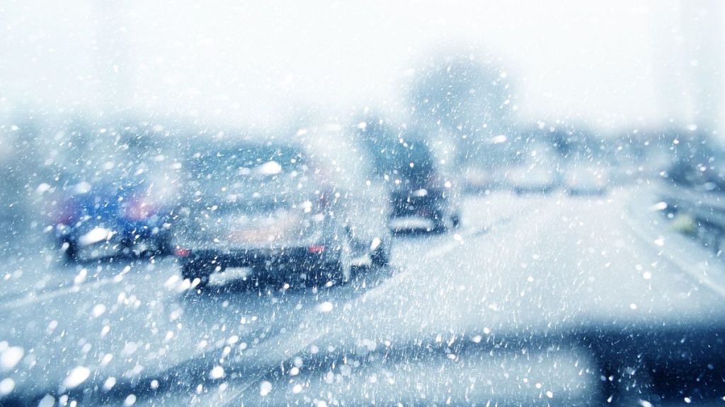
The UK is bracing for a “multi-hazard” weather event over the New Year period, with heavy rain, strong winds, and snow disrupting travel plans and forcing the cancellation of outdoor festivities, most notably Edinburgh’s Hogmanay celebrations. A series of low-pressure systems sweeping across the country are responsible for the volatile weather conditions, prompting the Met Office to issue a flurry of amber and yellow warnings spanning England, Scotland, Wales, and Northern Ireland. Forecasters predict a complex mix of precipitation, with snow, rain, and strong winds impacting different regions throughout the week. The unsettled weather has already caused blizzard-like conditions in parts of northern Scotland and the central belt.
The disruptive weather has dealt a significant blow to Edinburgh’s Hogmanay celebrations, a renowned New Year’s Eve event that draws thousands of visitors. Organizers made the difficult decision to cancel all outdoor events scheduled for December 30th and 31st, prioritizing public safety amid the high winds. The cancellations include the iconic street party, the spectacular midnight fireworks display, and the concert in Princes Street Gardens featuring the band Texas. Ticket holders have been assured of receiving instructions on how to obtain refunds. While outdoor events have been scrapped, indoor events, such as the candlelit concert at St Giles Cathedral and the New Year Revels at the Assembly Rooms, are expected to proceed as planned.
The Met Office has issued warnings for strong winds across much of the UK, with gusts potentially reaching 70mph in exposed locations. These powerful winds could exacerbate disruptions to travel and further impact New Year’s festivities. The volatile weather has prompted authorities to advise against all but essential travel and to urge those who must travel to plan meticulously and check for updates regularly. The potential for heavy rain has also triggered flood warnings in parts of England and Scotland, adding another layer of complexity to the weather situation.
Snow is also a significant factor in the forecast, particularly for New Year’s Day. Higher ground in Perthshire is expected to see accumulations of 10 to 20cm of snow by Tuesday. On New Year’s Day, snow is anticipated to affect parts of Northern Ireland, southern Scotland, and northern England as the low-pressure system moves eastward and interacts with colder air. Forecasters warn of potential snow accumulations of 10-15cm in these areas, with even higher amounts possible in hilly regions. The combination of snow and strong winds raises the risk of drifting snow, further complicating travel conditions.
The Met Office’s warnings underscore the importance of preparedness and caution during this period. Drivers are advised to avoid travel where possible and to wait for roads to be gritted before venturing out in snowy or icy conditions. Those who must travel are urged to equip themselves with warm, waterproof clothing, sturdy footwear, and essential supplies like food and water. Drivers should exercise extreme caution in snowy or icy conditions, leaving ample space between vehicles, reducing speed, and using higher gears to prevent wheel spin. Carrying emergency supplies, such as a torch, spade, blanket, food, and water, is also recommended.
The disruptions caused by this “multi-hazard” weather event serve as a reminder of the power of nature and the importance of heeding weather warnings. While many New Year’s Eve plans have been altered, prioritizing safety remains paramount. By staying informed, planning ahead, and exercising caution, individuals can mitigate the risks associated with this challenging weather and hopefully still enjoy a safe and memorable start to the new year. The Met Office continues to monitor the evolving weather situation and will update its warnings and advice as needed. Staying informed and adaptable will be key to navigating this period of unsettled weather.


