Revolutionary Volcanic Ash Forecasting System Set to Safeguard Air Travel
In a landmark development unveiled today, November 27, 2025, the UK’s Met Office has launched an innovative volcanic ash forecasting system that promises to transform how the aviation industry responds to volcanic eruptions. This groundbreaking technology could potentially cut flight disruptions by half during volcanic events similar to the infamous 2010 Eyjafjallajökull eruption in Iceland—an event that paralyzed European air travel and became a stark reminder of nature’s power to disrupt our interconnected world. The new Quantitative Volcanic Ash (QVA) forecasting service represents a significant leap forward in aviation safety and operational efficiency, offering precise data that will allow airlines to make more informed decisions about flight paths during volcanic events rather than implementing blanket airspace closures.
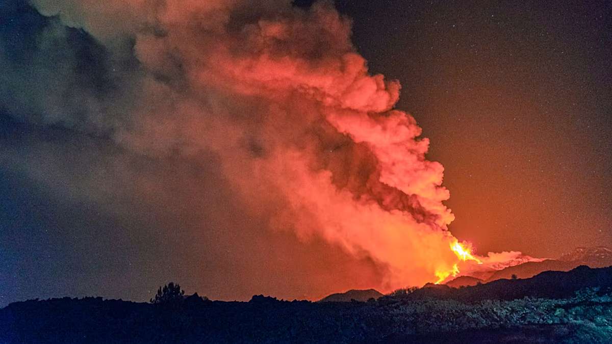
The 2010 Eyjafjallajökull eruption, though relatively modest in volcanic terms, demonstrated the vulnerability of modern air travel to natural phenomena. When the Icelandic volcano sent ash plumes over nine kilometers into the atmosphere, European airspace came to a standstill as authorities grappled with the unknown risks. The financial impact was staggering—airlines lost an estimated £130 million (approximately €148.49 million) daily while airspace remained closed, and millions of passengers found themselves stranded as flights were cancelled across the continent. The incident highlighted a critical gap in aviation management: the ability to accurately forecast and respond to volcanic ash threats without completely shutting down air travel. Volcanic ash poses serious dangers to aircraft, with the potential to damage engines and compromise flight safety, but the industry needed a more nuanced approach than complete airspace closure.
The Met Office’s new volcanic ash service offers precisely that nuanced solution, providing highly detailed forecasts that map ash concentrations across twelve horizontal slices of the atmosphere—from ground level up to approximately 60,000 feet. As Mark Seltzer, Expert Operational Lead for the London Volcanic Ash Advisory Centre (VAAC), explains: “With our new service, we estimate that the disruption today from an eruption of Eyjafjallajökull would be half of that experienced in April 2010.” This remarkable improvement comes from the system’s ability to identify areas where ash concentrations are low enough for safe flight operations, allowing airlines to navigate around higher-risk zones rather than avoiding entire regions of airspace. The London VAAC, responsible for monitoring volcanic eruptions in Iceland and the northeastern North Atlantic, is among the first of nine global VAACs to implement this enhanced forecasting capability, with the remaining centers expected to follow suit next year.
What makes this development particularly significant for the aviation industry is that the QVA forecasts will be available free of charge to airlines worldwide. In an increasingly congested airspace where efficiency and safety must be carefully balanced, this accessible, high-resolution data represents a valuable resource for flight planning and risk management. The system not only provides expected ash concentrations but also predicts the likelihood of certain concentration thresholds being exceeded, giving airlines a probabilistic tool for evaluating risk. As Karen Shorey, a Met Office aviation specialist, notes, these capabilities will enable carriers to make more informed decisions, potentially keeping vast stretches of airspace operational during volcanic events while maintaining the highest safety standards. The ability to avoid only the areas with dangerous ash concentrations rather than implementing sweeping closures could save the industry billions in future eruption scenarios.
The timing of this technological advancement could not be more appropriate as global air traffic continues to increase year over year, making efficient airspace management increasingly critical. Volcanic eruptions remain one of the most unpredictable and potentially disruptive natural hazards affecting aviation, with approximately 1,500 potentially active volcanoes worldwide. The 2010 Eyjafjallajökull eruption served as a wake-up call to the industry, demonstrating how a relatively small volcanic event could cascade into a major transportation crisis with global economic implications. Since then, aviation authorities and meteorological services have worked to develop more sophisticated approaches to managing volcanic ash risks, culminating in this new QVA system that balances safety imperatives with operational needs. The collaboration between the Met Office and Meteo France (VAAC Toulouse) showcases how international cooperation in scientific development can yield solutions to complex global challenges.
As we look toward the future, this new forecasting capability represents just one facet of the ongoing evolution in aviation safety and efficiency. The QVA system exemplifies how advanced modeling, improved data collection, and sophisticated risk assessment can work together to mitigate natural threats to air travel. With all nine Volcanic Ash Advisory Centres expected to adopt similar technologies by next year, we are witnessing a global enhancement in volcanic ash monitoring that should significantly reduce the economic and personal impacts of future eruptions. For airlines, airports, and the millions of passengers who rely on air travel daily, this development offers reassurance that even in the face of volcanic activity, the skies may remain safely open thanks to science-based solutions and international collaboration. The 2010 Eyjafjallajökull eruption may have caught the aviation world underprepared, but the response it sparked has ultimately led to a more resilient system for managing similar events in our increasingly connected world.


